Business Enhancement grants are available to Chamber Members. They are a matching grant up to $2,500 for improvements made to business buildings or property that improves the structural integrity of
The purpose of the Transient room Tax Grant is to promote tourism and economic development in Grant County. Only recognized Grant County Organizations shall be eligible to apply for funds
The Old West Scenic Bikeway, starting in the town of John Day at the Kam Wah Chung State Heritage Site, offers a wide variety of terrain and scenery, from rushing rivers to friendly small towns to fossil beds, and some attention-getting climbs.
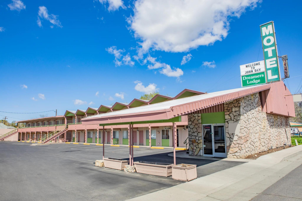
Other Travel Information
We have a Tesla charging station that is available at the Chamber of Commerce free of charge. 301 W Main Street in John Day. You may also want to check out the Eastern Oregon Travel Guides below.